

Description
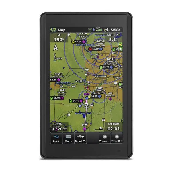
The Garmin Aera 660 is a compact and portable aviation GPS navigator equipped with a bright 5-inch touchscreen display, designed to serve as a primary or backup VFR navigation reference in the cockpit. Combining advanced Garmin aviation features in a rugged and easy-to-use design, it delivers reliable situational awareness for pilots in various flight environments.
Key Specifications
-
Physical Dimensions: 14.1 cm (W) x 8.7 cm (H) x 2.1 cm (D)
-
Display Size: 5.08″ diagonal (12.9 cm)
-
Resolution: 480 × 800 pixels, WVGA color TFT with white backlight, usable in portrait or landscape mode
-
Weight: Approx. 245 g (with battery)
-
Battery: Rechargeable lithium-ion, up to 4 hours with wireless connectivity enabled and 80% backlight
-
Connectivity: Wi-Fi®, Bluetooth®, and microSD™ card slot
-
Durability: Rugged construction built to withstand demanding cockpit environments
Flight Features
-
3D Vision: Provides a virtual 3D perspective view of surrounding terrain, obstacles, and airports using internal databases.
-
WireAware™: Displays powerline locations and height data to help avoid wirestrike hazards—ideal for helicopters and low-level aircraft operations.
-
Wireless Connectivity (Connext®): Pairs with compatible Garmin devices such as GDL 39 or GTX 345 to display ADS-B traffic and weather wirelessly.
-
Wi-Fi® Database Updates: Allows pilots to download and update aviation databases easily via Wi-Fi without connecting to a computer.
-
Electronic Flight Bag (EFB): Functions as a Class I/II EFB and supports Garmin FliteCharts® (georeferenced) and SafeTaxi® airport diagrams.
-
Smart Airspace™: Automatically highlights nearby airspace relevant to your current altitude for enhanced situational awareness.

Reviews
There are no reviews yet.